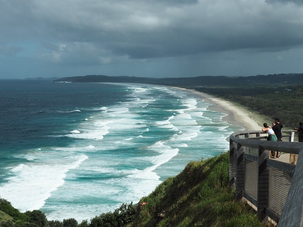
I know that most blog posts about holidaying in Japan feature mandatory photos of Cherry blossoms, temples, shrines, bullet trains whizzing past a cloud-shrouded Mount Fuji, neon skylines, and that iconic cross-walk at Shibuya; and perhaps I’ll post about those one day, but what I really want to write about is my best day out in Japan. And it involved none of those things. It all started with breakfast.

On our first full day in Japan, we’d eaten breakfast at our hotel in Osaka (not too far from Umeda Station). On our second day we decided to look a bit further afield, hoping for a cafe brekkie. We walked a few blocks to a quaint little coffee house in the Nakazakicho area, called ‘Rainbow’. The sign out the front advertised tea & toast or coffee & toast – in Japanese. Both cost 450 yen (which converted to A$4.73 as at March 2025). When we were seated inside, the elderly lady who ran the place asked us which of these two options we’d like. We had assumed that there would be more than just tea and toast on the menu, surely? But since there wasn’t, we figured we would just go with it and order from those two options. We could always get something more substantial later on if necessary. But what we were served turned out to be one of the most delightful breakfasts we’ve ever had. Perhaps it was the simplicity of it?

You get a thick slice of airily-soft white buttered toast, cut slightly diagonally (so that one slice is larger than the other), a boiled egg – still in its shell, and a small bowl with a tiny amount of potato salad, shredded lettuce/cabbage and a smidge of what was possibly mayonnaise at the bottom underneath it. Served with a small decorative fork, it was a light but very delicious meal. The coffee and tea comes out black, with a very dainty jug of cream on the side (no milk). I loved that we just happily received whatever came out to us – no fancy coffees with syrups or nut milks here! The dear lady who served us also single-handedly prepared the food and drinks for the five of us, and later cleared away our plates as well. She spoke no English but we were able to communicate easily, partly with hand gestures (pointing to one of the two options on the menu board), and later using a translation App on our phones to thank her for the delicious meal. This little coffee house felt like such a special place. Quiet, unhurried, cozy. And clearly, a local secret. One we were so happy to have stumbled upon.
Minoh Park

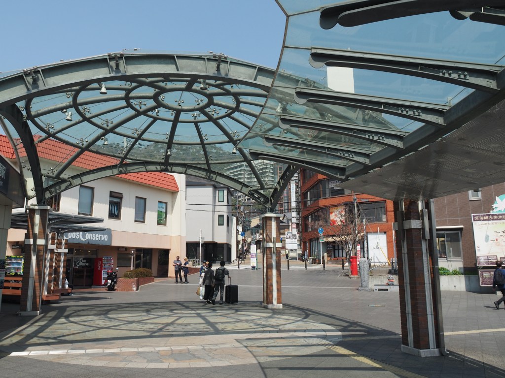
Later in the morning we set off in search of butterflies! Four of the five of our travelling party were bug nerds, so our destination was an ‘Insectarium’ at a place called Minoh Park. We boarded a train on the Takarazuka Line from Umeda Station to Ishibashi Handi-mae Station, then transferred to the Hankyu Minoh Line to Minoh Station. This whole trip took roughly 30 minutes and cost 280 yen each (around A$3). The trains here are a joy to ride. They are immaculately maintained, spotlessly clean, and commuters are quiet and respectful to both each other and to visitors. Minoh (often spelled Minoo) is a city in its own right, with around 130,000 residents, but still within Osaka Prefecture.

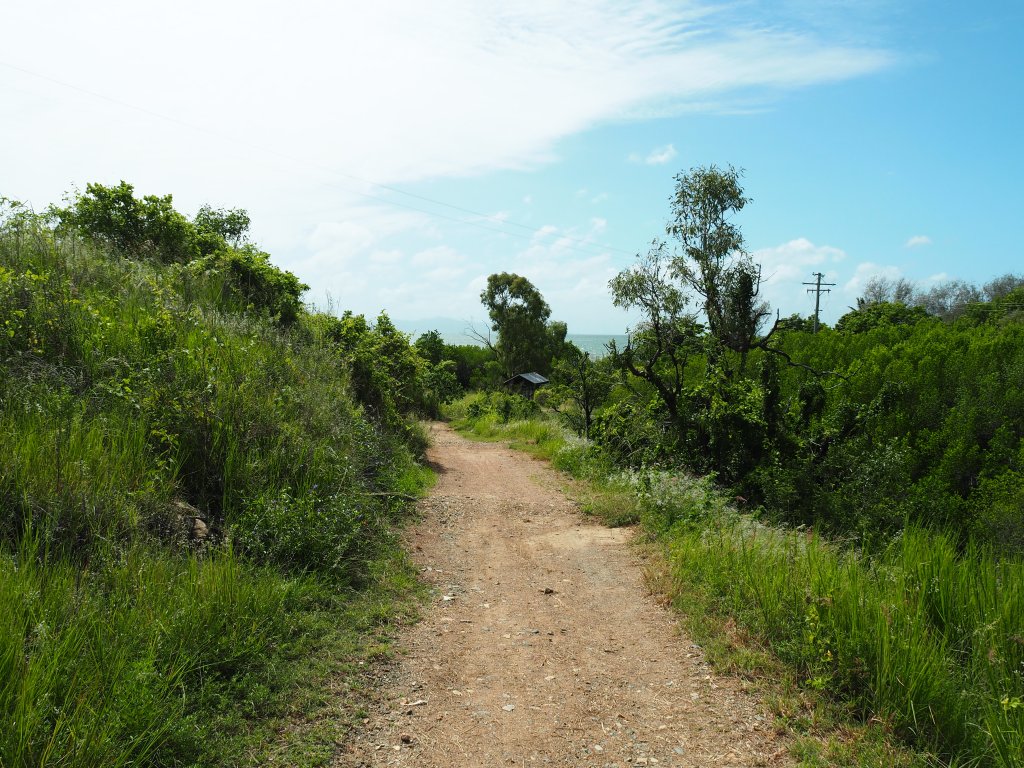
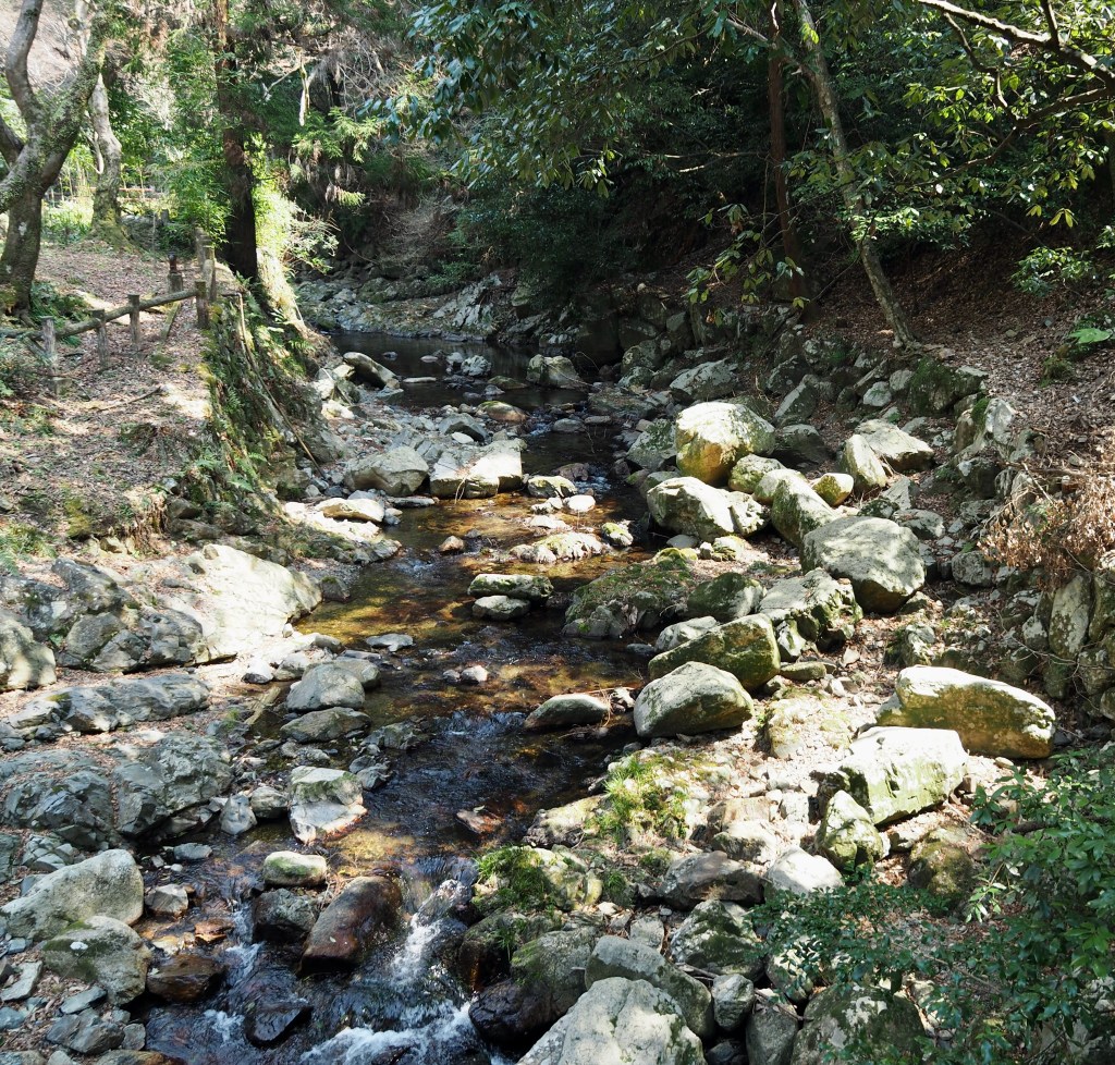
We asked for directions at the Information Centre and were given a map of the whole park then we set off across the road, directly opposite the station. We just followed all the other people who were heading in that direction. The walk to the Insectarium in Minoh Forest was unexpectedly delightful. A gently sloping road makes its way beside a meandering river lined with maple trees, traditional-looking buildings, tea-houses and market stalls. Crystal clear water bubbled over stones and pebbles down in the shallow parts of the river. Intricately patterned lichens clung to the trunks of gnarled trees.

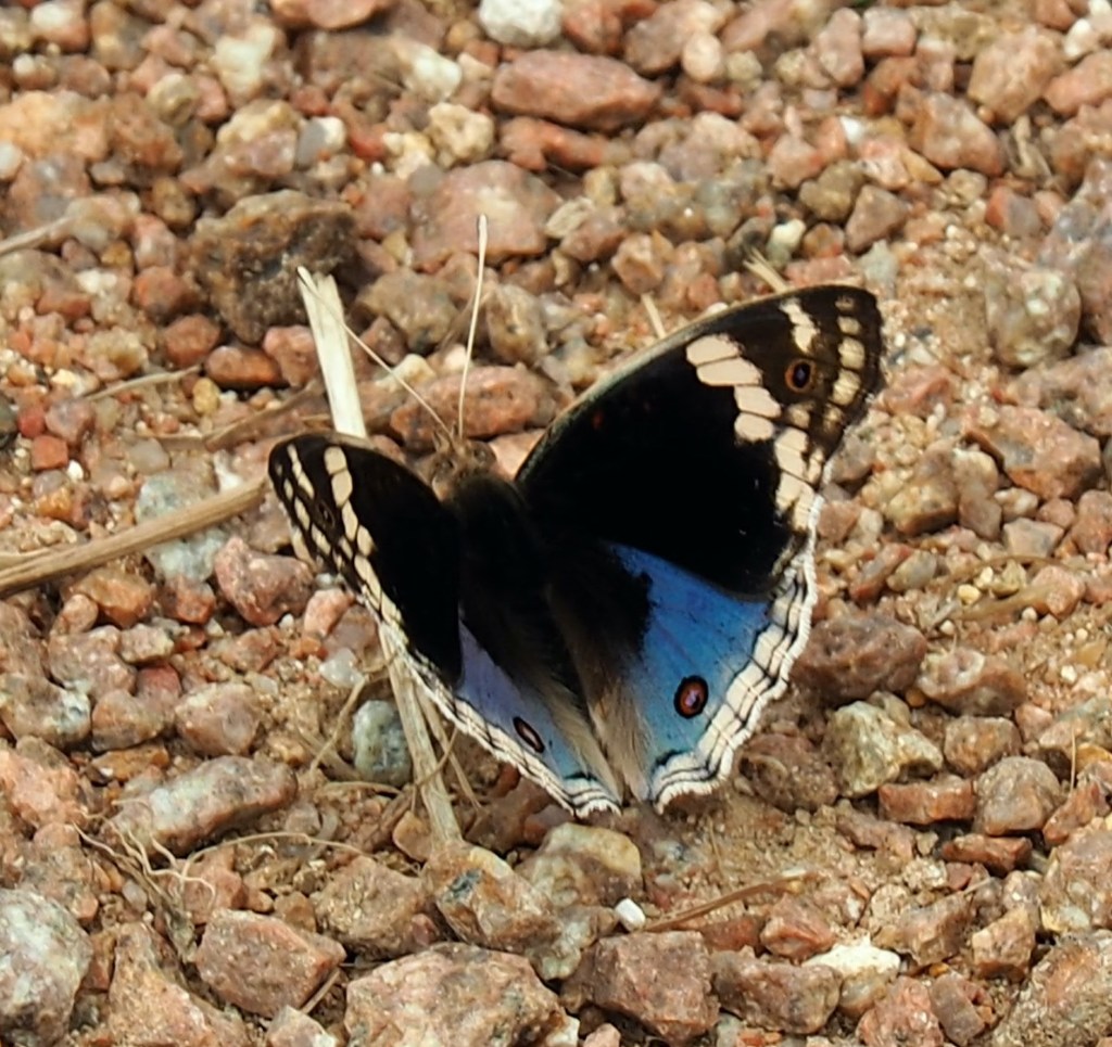
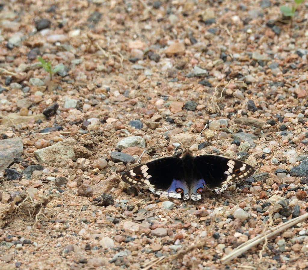
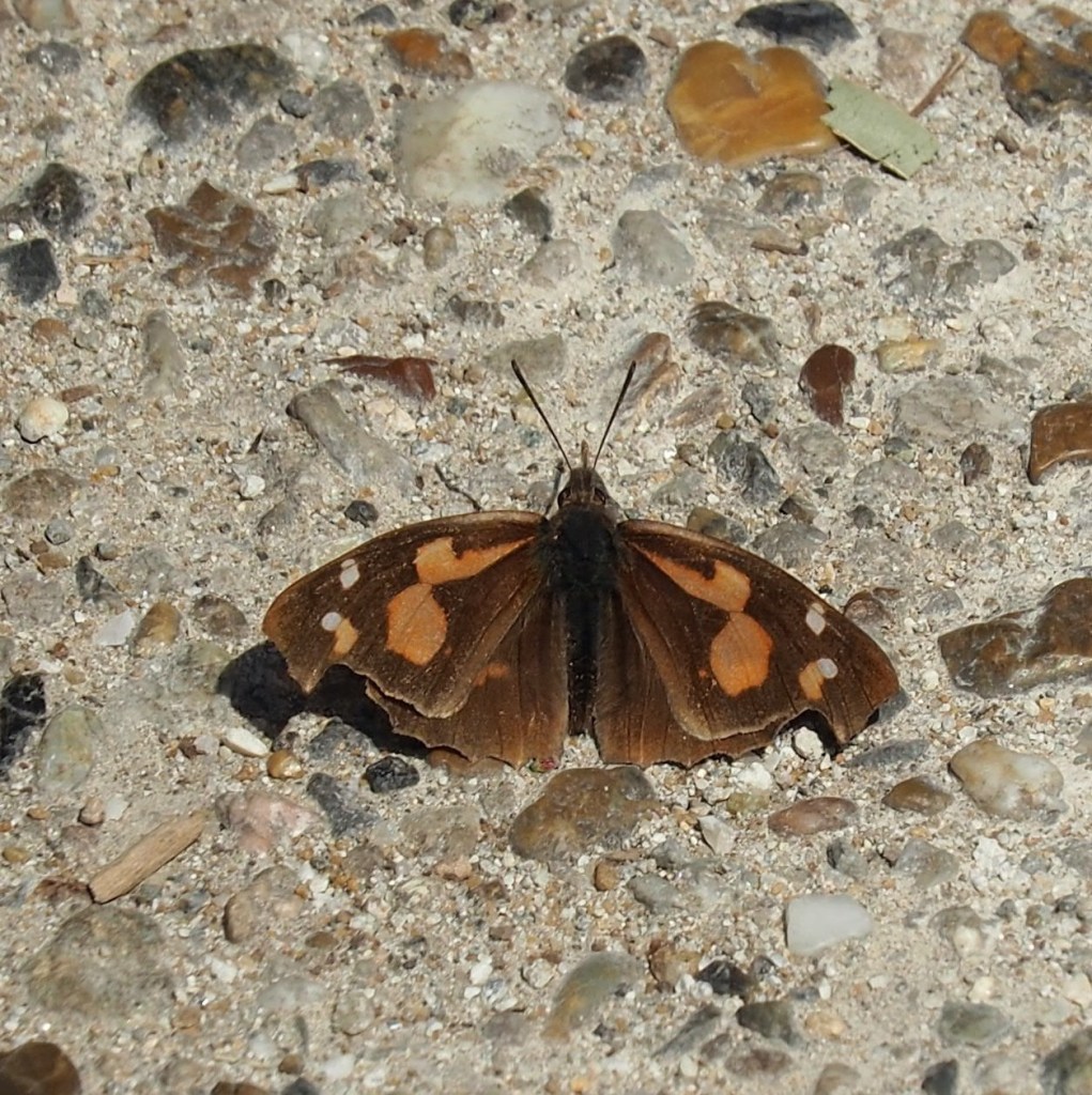
To my delight, a butterfly I’d never seen before was sitting on the roadway just up ahead of us, wings open, basking in the sunlight. It turned out to be a European Beak butterfly [Libythea celtis] aka the Nettle-tree butterfly. I was so happy to have photographed this butterfly out in nature.


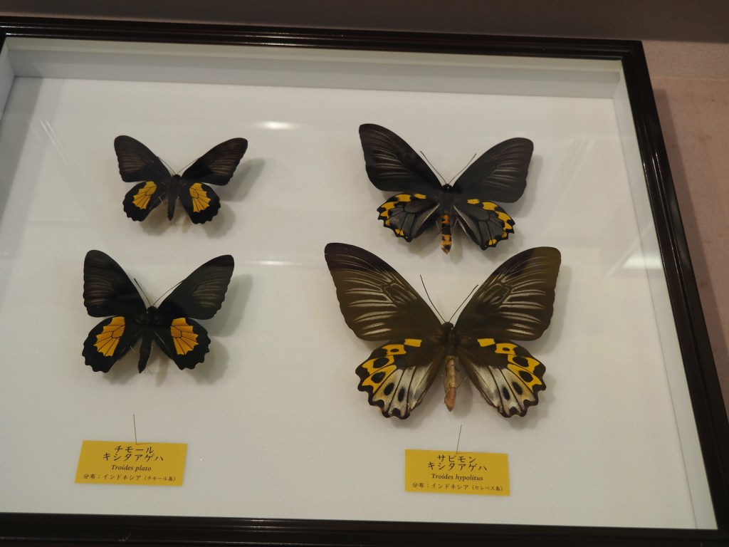
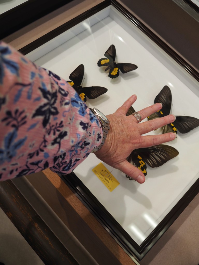
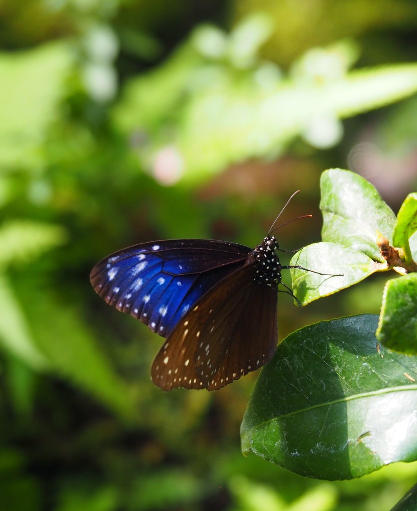
The entire park encompasses 83.8 hectares and is considered ‘quasi-national park’. If you’re keen for a decent walk and have the time (about 40 minutes walk from the train station) you’ll arrive at Minoh Falls – a 33 metre drop waterfall, which is apparently often frequented by monkeys. All great if you like monkeys, but I confess to being more than a little scared of them, so we were only going as far as the insect museum. I knew the museum showcased all kinds of bugs, both dead and alive, but it was the live butterflies I was the most excited to see. And I was not disappointed. In fact, none of us were. We all absolutely loved it! There were hundreds of butterflies in the glass-domed conservatory. Floating about above us and around us, and sometimes even landing on us briefly. Some sat sipping nectar from flowers, others reposed on pathways and garden seats – wings open soaking up the heat from the sun.
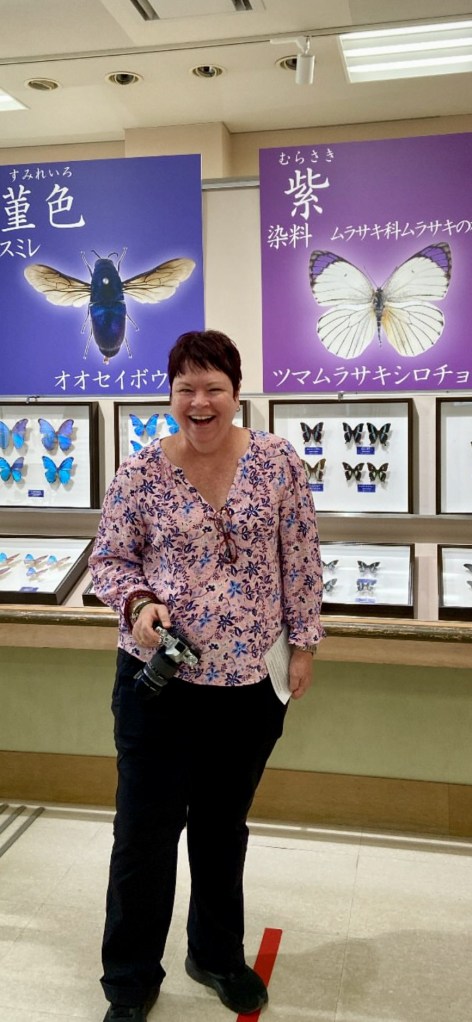


Entry to this museum was 280 yen each – and for something that only cost a few dollars, it was a wonderful outing. When the holiday was over, I asked everyone what their highlights of the trip were. Without fail, everyone said the butterfly house at Minoh Park was right at the top of the list of the best things we had seen and done in Japan. I can’t wait to go back! And next time, I might even visit the monkeys…
Author’s note: I did my best to identify the names of these butterflies once I was back home in Australia, but I’m not a scientist (just a VERY enthusiastic butterfly photographer) so if I’m wrong on any of these, please let me know in the comments. If you’d like to reproduce any of my butterfly photos, please do, but please also cite Trisha Fielding as the photographer.